

| Quick Answer A powerful coastal storm, known as a nor’easter, formed off North Carolina and Virginia in late September 2026 and is moving north along the US East Coast. The worst weather — strong winds, heavy rain, and coastal flooding — is hitting New England hardest, especially Boston, Cape Cod, Rhode Island, and Maine, with Mid-Atlantic beaches from Virginia to New Jersey also at risk of flooding and erosion. |
Here is the Cyclone Latest Update for everyone tracking the rare storm moving along the US East Coast. If you’ve looked outside and seen scary words like “storm surge” and “coastal flooding warning” on your phone, you’re not alone. A rare nor’easter has formed off the coast this week, and millions from the Carolinas to Maine are asking the same question: where is it going and do I need to worry? Let’s explain in simple terms what’s going on, without needing a degree in meteorology.
What’s Happening With the Storm Right Now?
This storm is not a tropical hurricane. This storm is a Nor’Easter. The difference between a Nor’Easter and a tropical hurricane is that a Nor’Easter typically moves in a counter-clockwise direction, and will have winds blowing from the northeast. The storm began forming off the coast of North Carolina and Virginia, and has been slowly intensifying as it tracks northward up the Atlantic coast. Nor’Easters typically form in the month of November through March. In late September is unusual, which is why forecasters are paying such close attention to this one.
Where Is the Storm Heading?
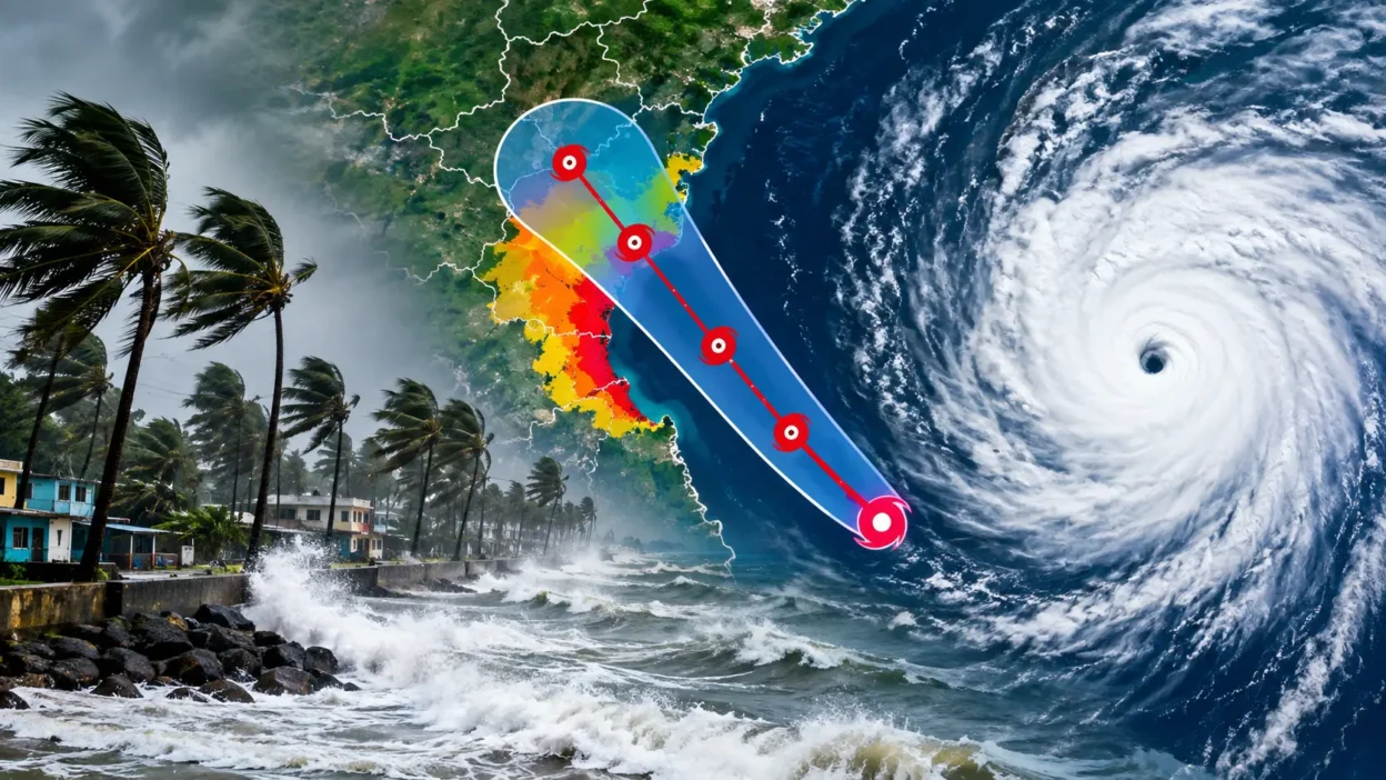
The storm is moving north, roughly following the coastline rather than crashing straight into land. Here’s the simple version of its path:
- It formed off the Carolinas and Virginia earlier in the week.
- It’s tracking north, staying mostly offshore.
- Its centre is expected to pass south of Long Island, New York.
- It will then move up toward New England, with the biggest impact expected from Friday night through the weekend.
Forecasters admit the exact track is still a little uncertain. A shift of even 50 miles closer to the coast could turn a windy, rainy weekend into a much bigger deal for cities like Boston.
Which Areas Are Most at Risk?
Some places will barely notice this storm. Others should pay close attention. Here’s a simple breakdown:
High risk (strong winds, heavy rain, coastal flooding):
- Cape Cod, Nantucket, and Martha’s Vineyard — the biggest wind gusts, possibly 60–70 mph
- Boston and the Massachusetts South Shore — heavy rain and minor to moderate flooding
- Rhode Island — strong wind and coastal flooding along the shore
- Coastal Maine — heavy rain, some spots could see 5 or more inches
Moderate risk (coastal flooding and beach erosion):
- The Outer Banks, North Carolina
- Coastal Virginia and New Jersey
- Long Island, New York (right on the edge of the storm’s path)
Low risk (breezy but mostly fine):
- Inland areas of New England and the Mid-Atlantic
- New York City, which sits on the fringe of the worst weather
If you live along the immediate coast anywhere from North Carolina to Maine, this is the week to keep half an eye on local alerts, even if you’re not in the bullseye.
How Strong Will the Storm Actually Get?
It’s not going to be a category 3 hurricane, but that doesn’t mean it can’t still cause issues. A slow-moving nor’easter has the potential to drop significantly more rain and cause more coastal flooding than an even fast-moving hurricane simply due to the fact that it can stick around for days rather than just a few hours. Throw in the fact that this weekend is also a full moon, which causes tides to be higher than normal, and you have the potential for even more coastal flooding, especially with a ‘moderate’ storm. Expect winds of up to 50-70 mph near the coast, up to 3-5+ inches of rain in some places, and multiple rounds of coastal flooding with each high tide.
Wait, Is a Nor’easter Really a “Cyclone”?
Good question, and yes. In weather terms, any large weather system that spins around an area of low pressure in a counter-clockwise direction is technically a cyclone. Hurricanes are tropical cyclones. Nor’easters are a type of mid-latitude, or extratropical, cyclone. So when people search for a “cyclone update” on the US East Coast in autumn, this is usually the type of storm they mean, rather than a tropical hurricane.
How to Stay Safe if You’re in the Storm’s Path
- Charge your phone and any power banks before the wind picks up.
- Move outdoor furniture, bins, and anything loose that could blow away.
- Avoid walking or driving near the beach or seawall during high tide.
- Check your local National Weather Service alerts daily, not just once.
- If you’re near flood-prone streets, know your evacuation route in advance, just in case.
None of this takes more than twenty minutes, and it makes a real difference if the storm tracks worse than expected.
The Bottom Line
This storm in a good reminder that you don’t need a hurricane to cause trouble. A slow moving, rainy, and breezy nor’easter that has been lingering around the coast for days at a time can create its own chaos with the amount of saturation and power outages leaving areas stranded. Check the forecast over the next couple of days, especially if you live along the coast from Virginia to Maine, and you’ll be ahead of the curve.
Frequently Asked Questions
Is this storm a hurricane?
No. It’s a nor’easter, a type of extratropical (non-tropical) cyclone. It doesn’t form the same way hurricanes do, but it can still bring damaging wind and flooding.
When will the storm be at its worst?
Forecasters expect the peak impact from Friday night through the weekend, with conditions slowly easing early the following week.
Will New York City be badly affected?
New York City sits on the edge of the storm’s path, so expect wind and some rain, but the worst conditions are forecast further north and south along the immediate coastline.
Why is coastal flooding a bigger concern than usual this time?
A full moon this weekend is pushing tides higher than normal. Combined with onshore winds from the storm, this raises the risk of coastal flooding even without extreme wind speeds.
What’s the difference between a cyclone, a hurricane, and a nor’easter?
Cyclone is the general term for any rotating storm around low pressure. A hurricane is a tropical cyclone that forms over warm ocean water. A nor’easter is a cyclone that forms in the mid-latitudes, often along the US East Coast, and doesn’t need warm tropical water to develop.
Resources & Sources
National Hurricane Center (NOAA): https://www.nhc.noaa.gov
NOAA Climate Prediction Center — Hurricane Outlook: https://www.cpc.ncep.noaa.gov/products/outlooks/hurricane.shtml
CNN Weather — Nor’easter Coverage: https://www.cnn.com/2026/09/22/weather/noreaster-wind-coastal-flooding-forecast-climate
The Washington Post — Nor’easter Forecast: https://www.washingtonpost.com/weather/2026/09/21/rare-september-noreaster-could-bring-rain-wind-waves-east-coast/